

Les Pieux Sciotot Flamanville

PascalN
Gebruiker

Lengte
19,3 km

Max. hoogte
128 m

Positief hoogteverschil
348 m

Km-Effort
24 km

Min. hoogte
3 m

Negatief hoogteverschil
347 m
Boucle
Ja
Datum van aanmaak :
2020-12-17 12:32:05.494
Laatste wijziging :
2020-12-21 10:59:34.34
3h07
Moeilijkheid : Medium

Gratisgps-wandelapplicatie
Over ons
Tocht Stappen van 19,3 km beschikbaar op Normandië, Manche, Les Pieux. Deze tocht wordt voorgesteld door PascalN.
Beschrijving
Départ du centre de Les Pieux depuis le parking derrière la mairie, direction "La roche à Coucou".Descente vers Sciotot puis le sentier littoral vers Flamanville et son château. Traversée du bois communal puis retour par Tréauville.
Plaatsbepaling
Land:
France
Regio :
Normandië
Departement/Provincie :
Manche
Gemeente :
Les Pieux
Locatie:
Unknown
Vertrek:(Dec)
Vertrek:(UTM)
586150 ; 5485088 (30U) N.
Opmerkingen
Wandeltochten in de omgeving
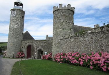
Entre terre et mer - Les Pieux


Stappen
Medium
(2)
Les Pieux,
Normandië,
Manche,
France

23 km | 28 km-effort
6h 0min
Ja

De Benoîtville à Saint Christophe du Foc - Circuit n° 12


Mountainbike
Medium
(1)
Benoîtville,
Normandië,
Manche,
France

21 km | 24 km-effort
1h 45min
Ja
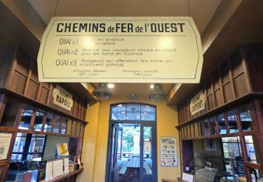
Séjour Cotentin Etape 5 Les Pieux - Barneville


Stappen
Gemakkelijk
Les Pieux,
Normandië,
Manche,
France

24 km | 28 km-effort
5h 8min
Neen
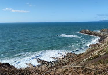
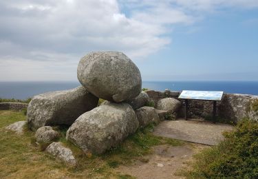
Tour du cap de Flamanville


Stappen
Moeilijk
Flamanville,
Normandië,
Manche,
France

11,5 km | 14,6 km-effort
4h 0min
Ja
Rando des Caps 2013 - 65 km - Flamanville


Mountainbike
Moeilijk
Flamanville,
Normandië,
Manche,
France

60 km | 73 km-effort
3h 30min
Ja
Rando des Caps 2013 - Flamanville


Mountainbike
Moeilijk
Flamanville,
Normandië,
Manche,
France

41 km | 48 km-effort
2h 45min
Ja
Entre terre et mer - Les Pieux


Lopen
Moeilijk
Les Pieux,
Normandië,
Manche,
France

23 km | 28 km-effort
3h 0min
Ja

21 Aout Flamanville plage du sciotot boucle terre et mer


Stappen
Zeer moeilijk
Flamanville,
Normandië,
Manche,
France

22 km | 27 km-effort
5h 26min
Ja


 SityTrail


